Everyday Life Around Superior Parks and Trails
December 18, 2025
December 18, 2025
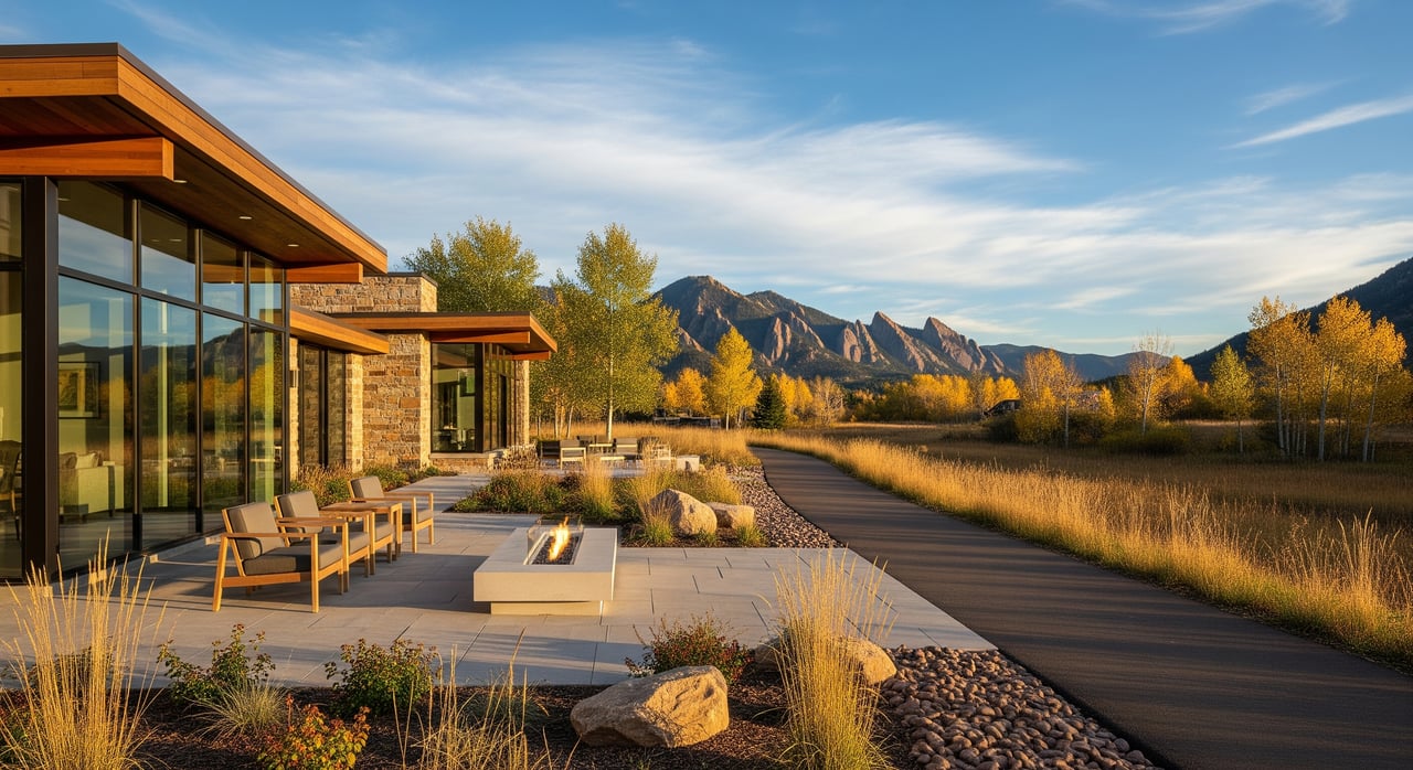
If stepping onto a trail within minutes of your front door is part of your dream day, Superior may be a great fit. This small Boulder County town is known for easy access to parks, greenbelts, and the Coal Creek corridor. You want a simple, clear picture of what daily life looks like here and how it affects your home search. In this guide, you will learn how parks and trails connect to everyday routines, what to expect from recreation options and the town center, and the key trade-offs to consider as a buyer. Let’s dive in.
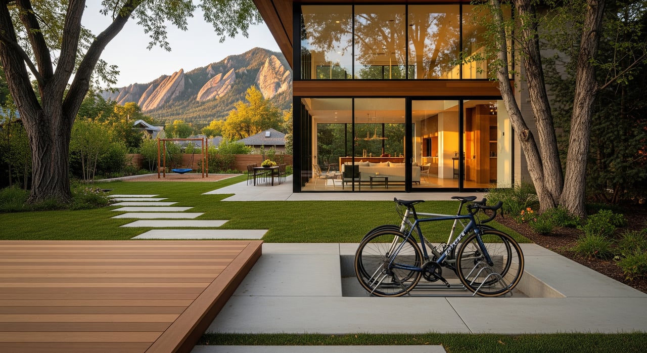
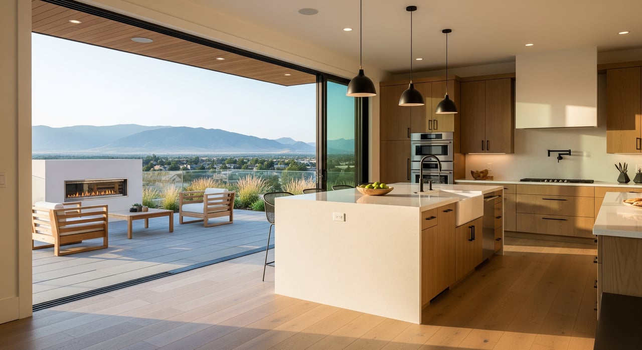
Superior blends older neighborhoods with newer developments, all planned around open space and trail access. The town’s maps and plans prioritize multi-use paved paths, greenbelts, and neighborhood parks. This design makes it easy to fit in dog walks, quick bike rides, and playground time during a busy week.
Many residents commute to Boulder or the Denver metro. That makes trail connections and regional transit options more than nice-to-have features. They shape your schedule and help you decide which neighborhood best supports your routine.
You will find a mix of park types across Superior. Neighborhood parks offer playgrounds and lawns for daily use. Community parks support larger fields and weekend sports. Adjacent open space preserves creek corridors and wildlife habitat while adding scenic value.
These spaces are built for everyday life. Families use them for after-dinner walks. Runners and cyclists link short loops before work. Organized sports fill fields during spring and fall. If you have a dog, expect leash requirements in most areas and posted rules at trailheads and parks.
Coal Creek is a regional greenbelt that passes through Superior and connects into nearby communities. Portions of the corridor host multi-use paved trails. Many residents use these segments for recreational rides and as a practical route to reach shops, schools, or neighboring towns.
Connectivity is a major draw. Depending on where you live, you can reach parts of Louisville and other nearby areas by trail. Some routes are continuous, while others include short on-street connections. If commuting by bike or on foot is important to you, map your exact route and test it during your typical travel time.
Not all trails are the same. Paved multi-use paths work well for strollers, kids’ bikes, and e-bikes. They are the backbone of local active transportation. Natural-surface trails add a more rugged feel for hiking and casual mountain-style rides.
Winter can change your routine. Many paved paths are usable year-round, but plowing, ice, and lighting vary by location. Natural-surface segments may be muddy in spring or have seasonal closures to protect habitat. Plan for alternate routes and confirm which paths are cleared in winter.
Superior’s recreation network typically includes community programs, fields, and courts that support a full calendar of activities. You will see youth sports in multiple seasons, adult leagues, fitness classes, and summer camps. Pools and seasonal aquatics are common across small Colorado towns, along with lessons that make it easy to get kids comfortable in the water.
Community life often centers on parks and small plazas. Outdoor concerts, movies, and holiday gatherings bring neighbors together. If you are new to town, these events make it simple to meet people and learn the weekly rhythm. For the most current schedules, use the town’s Parks and Recreation calendar before you register or plan your week.
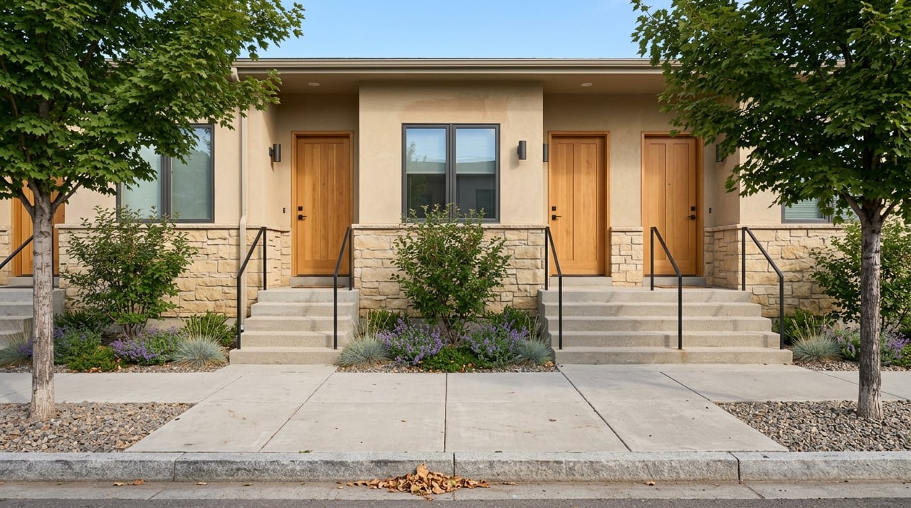
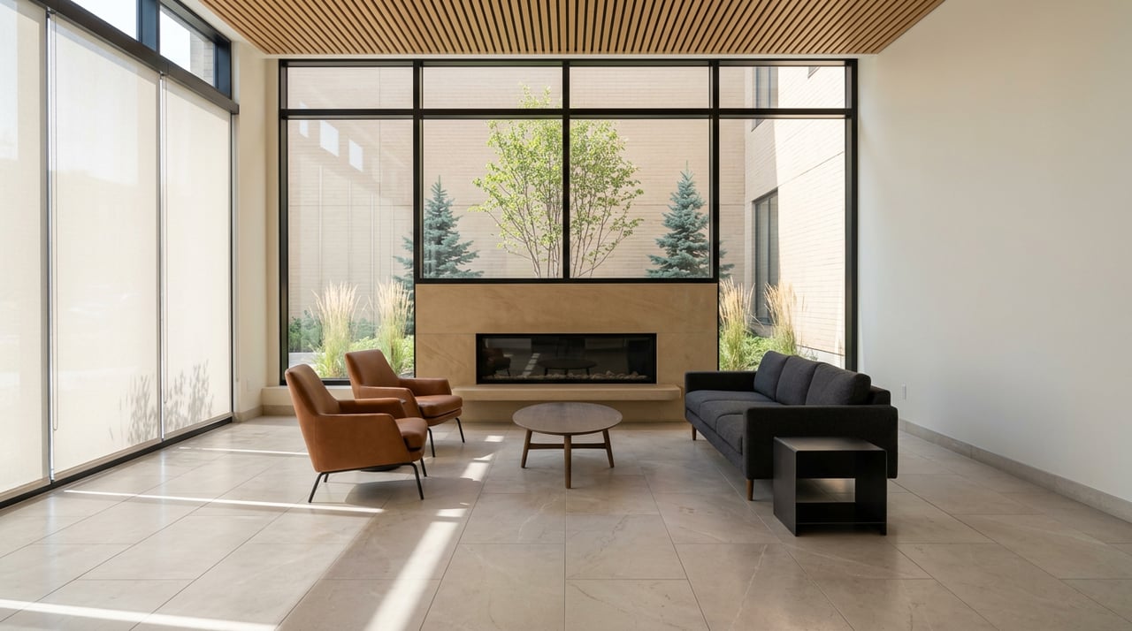
Daily convenience matters. Superior’s town center and nearby commercial areas typically offer grocery options, cafes, casual restaurants, and small retail that make short errands fast. Many buyers value neighborhoods that place them close to this mix, especially if they prefer to walk or bike for quick trips.
Medical, dental, and professional services are part of the local routine as well. Proximity to primary care and urgent care is a priority for many residents. Families often weigh distance to schools, after-school programs, and safe walking or biking routes when they compare neighborhoods.
Regional transit can support your commute. Depending on your exact location, RTD bus routes and park-and-ride facilities may be within biking or walking distance. Highway access also plays a role if you drive to Boulder or Denver. If you are considering a trail-based commute, test the route at your travel hour and allow time for crossings and weather.
In Superior, outdoor access affects your schedule in simple, positive ways. Short errands become quick walks. Kids get easy outdoor time after school. You can fit in a ride or run before dinner without a long drive to a trailhead.
Social life often grows around these patterns. You will see the same neighbors at parks, practices, and events, which helps you build a network. For active adults, pick-up games and group rides are common ways to stay connected while staying fit.
Living close to parks and trails can be a joy, but it comes with trade-offs. Keep these in mind as you tour:
Think about how you plan to use the trail network. If you want low-stress school runs and grocery trips, look for paved multi-use paths that connect directly to your daily destinations. If you prioritize training rides or scenic runs, focus on access to longer regional segments and loops.
Parents often value routes that avoid major crossings and keep kids off busy roads. Active commuters usually seek bike parking, lighting, and predictable winter maintenance along their path. For both groups, the Coal Creek corridor is a key piece of the puzzle.
Use this quick list to ground your decision in real-world routines:
Dog owners should review local leash rules and posted signage before visiting parks and open space. Expect leash requirements in many areas, especially along multi-use paths and near wildlife habitat. If an off-leash area is a priority, ask the town or county for current options and any seasonal restrictions.
Waste stations are common along popular routes, but carry your own bags and plan for seasonal changes. Winter ice and spring mud can affect footing. Choose routes that fit your dog’s needs and your comfort level.
You can stay active year-round with a little planning. Keep a flexible loop that sticks to paved, cleared paths during cold snaps. Add traction for icy days and use daytime light when possible. If your preferred trail is a natural surface, expect mud in spring and consider alternate routes until conditions improve.
If you commute by bike or on foot, plan for backups. Identify a second route with more lighting or better plowing. Store a staging kit near your door with lights, gloves, and a reflective layer to make winter routines easier.
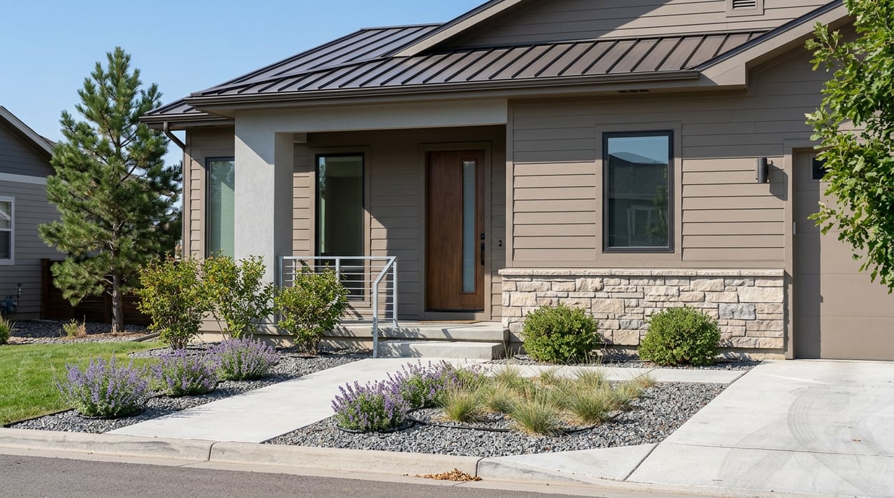
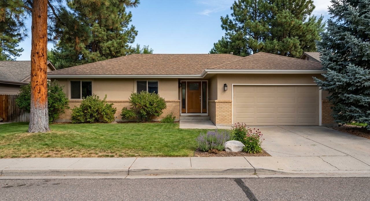
Choosing a home in Superior is about fit. Parks, trails, and town-center conveniences will shape your weekdays just as much as your weekends. When you match your routine to the right neighborhood, life runs smoother and you get more time outside.
If you want a local, personalized look at neighborhoods, trail access, and everyday conveniences, we are here to help. Reach out to The Mock Group for a tailored tour, neighborhood comparisons, and data-backed guidance on value and resale. Request a Home Valuation or start a conversation with us at The Mock Group.
Stay up to date on the latest real estate trends.
Whether you're selling or buying a home, relocating, or considering an investment property, The Mock Group welcomes the opportunity to make every step enjoyable and hassle-free for you.
GAIL MOCK
NATALIE MOCK
825 S BROADWAY ST BOULDER CO 80305